
AI tools for trekkers in India: routes, weather and safety
Published , Updated , 22 min read
The short answer for trekkers in India is this: download your route maps while you still have Wi-Fi, check the weather in two independent places before you start, and tell someone your plan before you leave the road. No single app does all three jobs well. AllTrails is the easiest place to discover a route and read recent trail reviews, Komoot gives the clearest turn-by-turn voice navigation for a planned route, and Gaia GPS is the most serious offline mapping tool for multi-day treks. For mountain weather, Windy.app shows wind, gusts and precipitation along your route, while the India Meteorological Department’s Mausam app is the official Indian source for forecasts and warnings. Use them together, not as substitutes for each other, and treat every AI-generated itinerary as a draft that must be checked against the ground, the season and the local authorities.
That matters more in India than in most countries because the conditions change fast. A Himalayan pass that is safe in September can be dangerous in a July cloudburst, a Western Ghats trail that looks easy on a map can turn into a slippery stream bed during the monsoon, and mobile signal disappears exactly where you need it most: in valleys, on ridges and inside forests. The tools in this article all work in India without a VPN, on an ordinary Android phone or iPhone, and they all have a genuinely usable free tier. But the free tier is not the whole product. Offline maps, the feature that matters most on a real trek, is usually paid, and that is the one upgrade worth considering before a multi-day trek. Prices and free limits change often, so re-check the official pricing and help page of each app before you pay, and never promise a group a route, a summit day or a return time on the basis of one app’s estimate alone.
This article is written for Indian trekkers: weekend hikers in the Sahyadris, first-time Himalayan trekkers, families walking a valley trail, and groups organising a trek over WhatsApp. It covers route planning, weather, offline navigation, group tracking and safety, and it is honest about where each tool stops. A phone app is not a guide, not a rescue service and not a substitute for fitness, acclimatisation or local knowledge. Where the sources used for this article disagreed about a price or a feature, that disagreement is noted rather than smoothed over, because a trekker who plans around a wrong price or a missing feature pays for the mistake on the mountain.
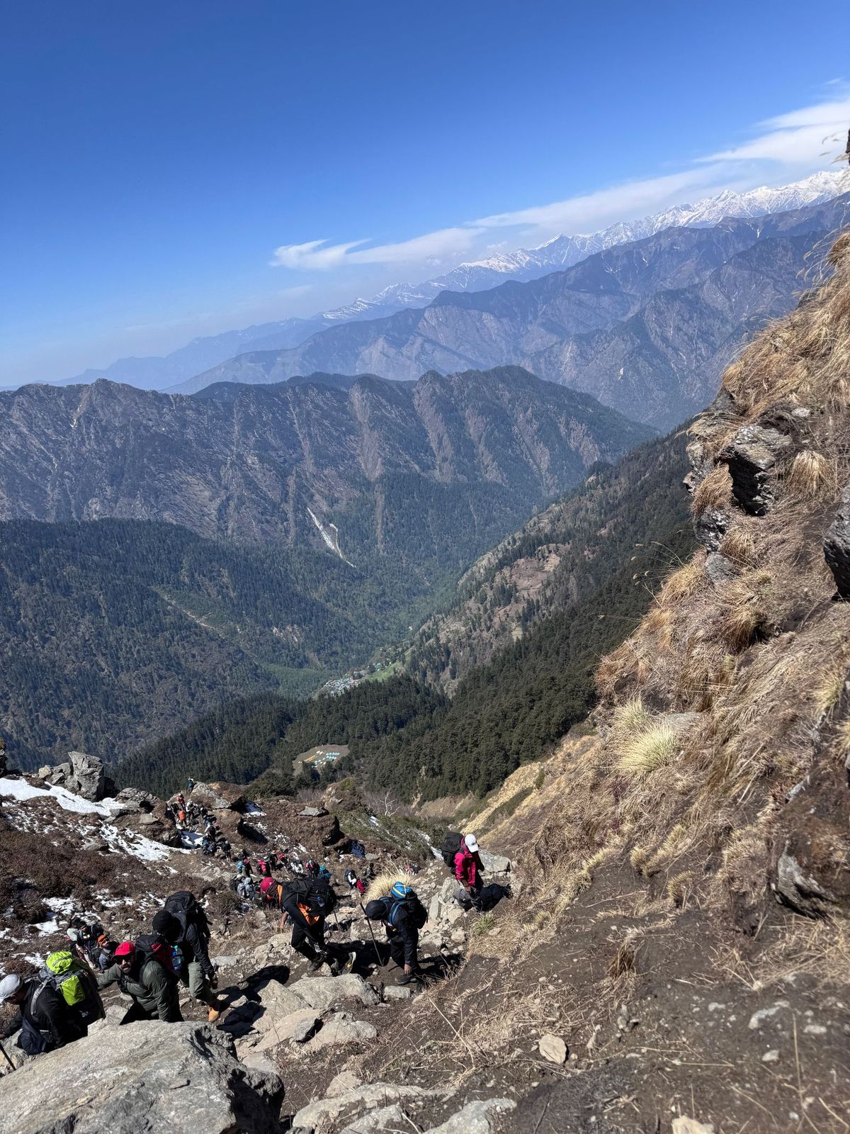
The short answer, in one table
| Tool | Best for | Free plan in the checks | Watch out for |
|---|---|---|---|
| AllTrails | Discovering routes and reading recent trail reviews | Free trail discovery, saving trails and lists | Offline maps, wrong-turn alerts and live sharing need Plus |
| Komoot | Turn-by-turn voice navigation on a planned route | Free download, one free map region on sign-up | Offline navigation beyond the free region needs a paid region pack or Premium |
| Gaia GPS | Serious offline maps for multi-day treks | Free waypoints, track recording and basic topo maps | Offline map downloads need Premium |
| Wikiloc | Community trails and following other trekkers’ routes | Free trail browsing and recording | Offline navigation, route planner and live tracking need Premium |
| Outdooractive | Long-distance and European-style route planning | Free route browsing and planning basics | Offline maps and official topo maps need Pro or Pro+ |
| Windy.app | Wind, gusts and precipitation along your route | Free forecasts with many weather models | Offline forecast downloads and some advanced features sit behind paid tiers |
| IMD Mausam | Official Indian forecasts, radar and warnings | Free, from the India Meteorological Department | Coverage and detail vary by location, and it is not a trekking map |
| Google Maps offline | Road navigation to the trailhead without data | Free offline area downloads | No walking directions offline, and no live traffic without data |
AllTrails: the easiest place to find a route
AllTrails is the best starting point for a trekker who does not yet know which trail to walk. Its strength is the community: thousands of recorded trails with distance, elevation gain, difficulty ratings, photos and recent reviews that say whether a trail is muddy, closed, crowded or snow-covered right now. For Indian treks, that recent-review layer matters more than any official description, because a trail description written years ago will not tell you that a bridge washed out last monsoon. Search by place, filter by difficulty and distance, and read the newest reviews first, not the highest-rated ones.
The free plan covers discovery, saving trails and making lists. The paid Plus tier is where the trekking features live: downloading a trail, a park or a whole area for offline use, trail-condition information including temperature, precipitation and snow depth, wrong-turn alerts while navigating, a 3D preview of the terrain, and live sharing so family can follow your activity in real time. There is also a higher Peak tier with advanced map layers, a custom route builder and multi-day trip planning. AllTrails describes its own trip assistant as an AI-style planner that builds a day-wise itinerary from your destination, dates and preferences; treat that itinerary as a suggestion, then verify each day’s distance and elevation against the actual trail, because an assistant that has never walked the trail cannot know how your group moves on a steep, rocky descent.
Watch out for two things. First, trail coverage in India is thinner than in North America or Europe, so a remote Himalayan or Northeast trail may have few or no reviews. Second, offline maps are a Plus feature, so if you plan to rely on AllTrails on the trail itself rather than just at home, check the current Plus price on the official pricing page before you travel. Download the trail at home on Wi-Fi, test it in flight mode, and carry a printed map or a second offline map as backup.
Komoot: the clearest voice navigation for a planned route
Komoot is built around one idea: plan a route, then follow it with turn-by-turn voice navigation, even without signal. Its maps are based on OpenStreetMap data, and its routing engine builds a walkable route between the points you choose, which you can then adjust before you set off. For a trekker who has already chosen a trail, Komoot is often more pleasant to follow on the move than a general map app, because it tells you where to turn instead of asking you to stare at a small screen on a steep slope.
The pricing model is unusual and worth understanding. Every new account gets one free region to explore the core features. To navigate offline beyond that region, you buy map regions as one-time purchases: a single region, a bundle of regions, or a world pack. In the sources checked for this article, those were listed at 3.99 dollars for a single region, 8.99 dollars for a region bundle and 29.99 dollars for the world pack, all as one-time payments, with a Premium subscription listed at 59.99 dollars per year for extras such as sport-specific maps, a multi-day planner, live tracking, 3D maps and on-tour weather. Prices are shown in the store at checkout and can differ by country and currency, so confirm the rupee price in the Play Store or App Store before paying.
Komoot’s weakness for Indian trekkers is coverage depth. OpenStreetMap data in popular Indian trekking areas is often good, but on a remote trail the path may be mapped roughly or not at all, and voice navigation is only as good as the underlying path. Use Komoot for the route you planned, keep a second map open for the wider area, and never follow a voice prompt off a marked trail onto what looks like a shortcut. For group treks, the live-tracking feature in Premium is genuinely useful: the group leader can see where slower members are, and family at home can follow progress, provided someone in the group has signal.
Gaia GPS: the serious offline mapping tool
Gaia GPS is the tool to pick when the trek is long, remote or above the treeline, and when you want layered maps rather than a single route line. Its free tier lets you drop waypoints, record your track, follow your GPS position, take geotagged photos and back up tracks to the website, using its basic Gaia Topo maps. The Premium tier unlocks a catalogue of more than 250 maps and overlays, including hill-shading, contour lines and slope-angle shading, and, crucially, the ability to download maps for offline use, including layered maps.
In the sources checked, Premium was listed at about 59.90 dollars per year in the US store, with a higher tier bundled with Outside+ content. As with every paid tool in this article, confirm the current India price in the app store before subscribing, because store prices vary and change. Also note the expiry rule that Gaia states plainly: if Premium lapses, downloaded maps become unavailable, so a trek planned around downloaded maps needs an active subscription on the day of the trek, not just on the day you downloaded them.
Gaia GPS rewards a trekker who prepares. Before a multi-day trek, download the map layers you need, mark water sources, campsites and escape routes as waypoints, and practise reading contours at home. Its catalogue is strongest for North American maps, so for India, check that the layers you need actually cover your area in useful detail before paying. For a weekend trek on a well-marked trail, Gaia is more tool than you need; for a high-altitude trek where a wrong valley means a lost day, it is the most capable map in this list.
Wikiloc: follow trails other trekkers actually walked
Wikiloc is a community of recorded trails: millions of routes uploaded by people who walked, cycled or ran them, with photos and elevation profiles. For Indian trekkers, its value is the same as AllTrails’ but with a different community, so a trail that is thin on one app may be well covered on the other. If you are planning a lesser-known trail in the Western Ghats or the Northeast, checking both apps doubles your chance of finding a recent, real track.
The free tier covers browsing trails and recording your own. Wikiloc Premium adds the features that matter on the trail: offline navigation with heading indicators, a compass and audio cues, a route planner that builds a trail from popular stretches walked by other members, a peak identifier that uses augmented reality to name the peaks you point your camera at, 3D maps, and live tracking to share your location with friends and family. Note the honest limits Wikiloc itself states: searching and saving trails in the app and downloading offline maps need internet, and live tracking and the peak identifier need internet too. So Wikiloc Premium helps you follow a downloaded trail offline, but it does not conjure signal where there is none.
For group treks, Wikiloc’s recorded-track approach is practical: the leader downloads the planned trail, every member records their own track, and afterwards the group can compare where people actually walked against the plan. That comparison is how a group learns which shortcuts were safe and which were not. As always, a community track is evidence, not permission: if a recorded trail crosses a restricted area, a private field or a closed forest section, the fact that someone else walked it does not make it legal or safe for you.
Outdooractive: the long-distance planner
Outdooractive is strongest for long-distance and multi-day route planning, the kind of trek where the route itself is the project: a week-long valley traverse, a pilgrimage route walked in stages, or a trek you are designing from scratch rather than picking from a list. It offers official topo maps in many countries, trail networks for multiple activities, and a route planner that works on the web and in the app.
Its paid tiers are Pro and Pro+, listed in the sources checked at 29.99 euros per year for Pro and 59.99 euros per year for Pro+, each on a 12-month contract that can be terminated annually, with a 7-day free trial on a first subscription that converts automatically if not cancelled. Pro adds official topo maps, offline saving of routes and regions, and trail-network layers. The prices shown on its membership page are described as indicative, with the exact euro value shown at checkout, so confirm the final price before subscribing, and set a reminder to cancel the trial if you only wanted to test it.
For most Indian weekend treks, Outdooractive is not the first pick, because its official topo map catalogue is strongest in Europe and its Indian trail community is smaller than AllTrails’ or Wikiloc’s. It earns its place in this article for planners: if you are designing a multi-day route, comparing stages, and want a clean web planner that syncs to the phone, it is a strong second tool. Do not pay for it before checking that its maps cover your Indian region in the detail your trek needs.
Windy.app: mountain weather, point by point
Weather is where trekkers get into trouble, and Windy.app is the most useful weather tool in this list for mountain conditions. It offers forecasts from many global and regional weather models, a 10-day outlook, hourly steps, wind speed and gusts, precipitation, and a route-forecast feature that shows the weather at each point of your route at the time you expect to be there. It also offers offline forecast downloads for remote areas, so you can download a forecast before you lose signal, and weather profiles for outdoor activities.
The key skill with Windy.app is model comparison. No single weather model is right every time in the mountains, so compare two or three models for the same place and time: if they agree, trust the forecast more; if they disagree wildly, plan conservatively and keep a buffer day. Check wind and gusts, not just temperature and rain, because high wind on an exposed ridge is a reason to turn back even on a sunny day, and check the forecast for the altitude you will actually be at, not just for the nearest town in the valley. A town forecast of 20 degrees can mean single digits and freezing wind on the pass above it.
Windy.app is free to start, with paid tiers for advanced features, and its exact free limits have changed over time, so check the current offering in the app before relying on a specific feature. Never use it as your only weather source: cross-check it against the IMD Mausam app and against what local guides, guesthouse owners and forest staff are saying on the ground. If the apps say clear skies and the locals say a storm is coming, believe the locals and wait.
IMD Mausam: the official Indian source
Mausam is the mobile app of the India Meteorological Department, under the Ministry of Earth Sciences, and it is the one weather source in this list that is official rather than commercial. It provides observed weather, forecasts, radar images and warnings for impending weather events, and it is free. For an Indian trekker, that official status matters: when IMD issues a warning for heavy rain, a thunderstorm or a cold wave in your district, that warning carries weight that a commercial app’s icon does not, and it is the warning that local authorities and guides will act on.
Use Mausam as your safety check, not your only planner. Its forecasts and warnings are organised by district and region rather than by trail, so it will not tell you the wind on a specific ridge the way Windy.app tries to. The practical routine is simple: a week before the trek, watch the Mausam forecast and any warnings for your district; the night before, check again; on the morning of the trek, check once more and ask locally whether anything has changed. If IMD has a warning for your area, postpone or reroute, even if another app looks fine. A warning is not a suggestion, and mountain weather punishes the trekker who treats it as one.
Mausam’s ratings in app stores are modest, and users report uneven detail between locations, so do not judge it as a consumer app. Judge it as an official bulletin: the value is the warning, the radar and the district forecast, not a polished interface. Keep it installed alongside Windy.app, and keep both updated before you leave Wi-Fi.
Google Maps offline and AI chatbots: the supporting cast
Google Maps is not a trekking app, but it solves the most common practical problem: getting to the trailhead without mobile data. Download the area around your trailhead, your base village and your return route while on Wi-Fi, and the app will show your GPS position and give driving directions inside the saved area without data. Its honest limits matter: offline maps do not include live traffic, public-transport routes, cycling routes or walking directions, and downloaded areas expire and need updating. Test the download in flight mode before you leave, and remember that a road map is not a trail map: once you leave the road, switch to one of the trekking apps above.
General AI chatbots, such as ChatGPT or Gemini, are useful before the trek, not on it. Ask one to draft a day-wise plan, a packing list, a fitness preparation schedule or a list of questions to ask your guide, and it will produce a fluent, plausible answer in minutes. Then verify every fact that matters: distances, altitudes, permit requirements, road timings and seasonal closures. Chatbots confidently invent trail distances and bus timings, and they do not know that a road closed last week. Use them for the draft and the checklist, use the trekking and weather apps for the route and the forecast, and use local sources for the final word. That division of labour is the safest way to use AI on a trek.
Trekking in India: what changes by region and group
In the Himalayas, altitude is the main risk, and no app measures acclimatisation. Plan rest days, ascend gradually, and learn the symptoms of altitude sickness before you go: headache, nausea, dizziness and unusual tiredness are signals to stop ascending and, if they worsen, to descend. Tell your group leader immediately rather than pushing on. Check permits early, because many Himalayan treks run through protected areas, wildlife sanctuaries or border-sensitive regions where entry needs a forest permit, an inner-line permit or a registered guide, and where gates close at a fixed hour. The permit rules for one valley do not apply to the next, so check the forest department or park page for your specific trek, carry a valid ID and your permit documents, and stay on designated trails.
In the Western Ghats, the main risks are rain, leeches, slippery rock and flash floods in streams. The monsoon makes the hills green and the trails treacherous, and a stream that is ankle-deep in the morning can be waist-deep after an afternoon downpour. Avoid crossing a flooded stream, avoid trekking alone in heavy rain, and check the local forecast and any forest-department closure before a monsoon trek. Many Sahyadri forts and Ghats trails also have seasonal closures or entry rules, so confirm access before travelling to the base village.
For groups, the tools change the job of the leader. Before the trek, share the planned route from Komoot or Wikiloc with every member, agree on meeting points, turnaround times and a rule that nobody walks alone. During the trek, use live sharing from AllTrails, Komoot Premium or Wikiloc Premium so the leader and family at home can see progress, and agree that a phone with no signal is normal, not an emergency, until the agreed check-in time passes. After the trek, compare recorded tracks and note what to change next time. For families with children or older trekkers, pick a shorter, well-reviewed trail, carry extra water and snacks, and choose a route with a clear exit: a trail where you can turn back or reach a road at several points is safer than a committing ridge walk.
Battery and signal discipline matter as much as app choice. Download everything on Wi-Fi, switch the phone to flight mode with GPS on while walking, carry a power bank, keep the phone warm and dry in cold or rain, and carry a paper map or a printed route summary as the backup that never runs out of battery. A second phone in the group, a whistle, a headlamp, a first-aid kit and enough water are not optional extras on a remote trail. For more general trip planning around the trek, see the guide to AI tools for travel planning in India, and for building the fitness the trek demands, see the guide to AI tools for fitness in India.
What to avoid
Avoid starting a trek on the basis of a single AI itinerary, a single app’s weather icon, or a social-media reel that makes a hard trail look easy. Avoid downloading maps on mobile data at the trailhead, because the download may fail halfway and leave you with half a map. Avoid following a community track into a restricted or closed area, and avoid sharing your live location publicly rather than only with trusted contacts. Avoid trekking alone on an unfamiliar trail, avoid ignoring a weather warning because the sky looks clear at the start, and avoid planning a summit day with no buffer day: mountains do not respect itineraries, and a group that must reach a summit on a fixed date takes risks a group with a spare day does not.
Avoid paying for a premium map subscription at the trailhead without testing it first. Buy it at home, download the maps, walk a local trail with it, and confirm that offline navigation, voice prompts and live sharing actually work on your phone. Avoid trusting a phone’s battery percentage in the cold, where batteries drain faster than the indicator suggests. And avoid leaving your plan with nobody: before every trek, leave your route, your expected return time and your emergency contact with someone who is not on the trek, and agree on what they should do if you do not check in.
Frequently asked questions
Which single app should a beginner trekker in India start with? Start with AllTrails for discovering routes and reading recent reviews, and add the IMD Mausam app for official weather warnings. That pair covers the two decisions a beginner gets wrong most often: picking the wrong trail and ignoring the weather. Add offline maps from Komoot or Gaia GPS before your first multi-day trek, not after you discover you have no signal.
Do these trekking apps work in India without a VPN? Yes. All the apps in this article are available in India through the Play Store or App Store and work without a VPN. What does not work everywhere is mobile signal on the trail itself, which is why offline downloads matter more than the app’s online features. Download routes, maps and forecasts on Wi-Fi before you leave.
Is offline navigation really free on any of these apps? Not in the full sense. Google Maps offline areas are free, but they do not include walking directions. AllTrails, Gaia GPS and Wikiloc keep offline map downloads behind their paid tiers, and Komoot gives one free region and charges for more. Budget for one paid offline-map option before a serious trek, and check the current price on the official pricing page first.
Which weather app is most reliable for Himalayan treks? No single app is reliably right in the Himalayas, so use two: Windy.app for wind, gusts and precipitation at altitude across several weather models, and IMD Mausam for official Indian forecasts and warnings. If the two disagree, plan conservatively. If IMD has issued a warning for your district, postpone or reroute regardless of what another app shows.
Do I need a permit for trekking in India? It depends on the trek. Many treks through national parks, wildlife sanctuaries and protected areas require a forest or park permit, and some regions require a registered guide or an inner-line permit. Check the forest department or park page for your specific trail well before the trek, carry a valid ID and your permit, and respect gate timings and closure rules.
Can AI plan my whole trek, including stays and transport? AI can draft a day-wise plan, a packing list and a fitness schedule, but it cannot reliably confirm trail distances, permit rules, road timings or seasonal closures. Use the AI draft as a starting point, verify every practical fact against the trekking apps, official pages and local sources, and never pay for stays or transport on the basis of an AI answer alone.
What should I do if I lose the trail or lose signal? Stop, stay calm and stay put if you are unsure. Check your downloaded offline map and your GPS position, retrace your steps to the last known point on the trail, and use your whistle and phone to signal. If you have signal, call your group leader or emergency contacts. If you do not, wait at a visible, safe spot rather than wandering further. This is why you leave your route and expected return time with someone off the trek before you start.
Final verdict
Download offline maps before you leave, check IMD and Windy together, and never trust a single app alone on a Himalayan trail.
This article is general information only, not professional mountaineering, medical or legal advice. Trekking carries real risks, including altitude sickness, weather, wildlife and falls. Check official forecasts, permit rules and local guidance before every trek, and consult qualified guides and medical professionals for high-altitude, technical or medical questions.
Image credits:
- Hikers trekking along a rugged mountain trail in the Himalayas — Pexels — Ventara Films — Pexels License
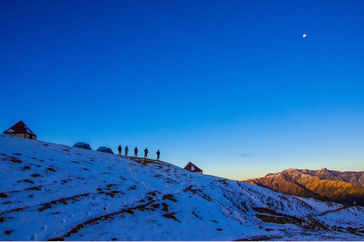
- A group of hikers crossing a snow-covered mountain landscape at dusk — Pexels — Saheb Santanu — Pexels License
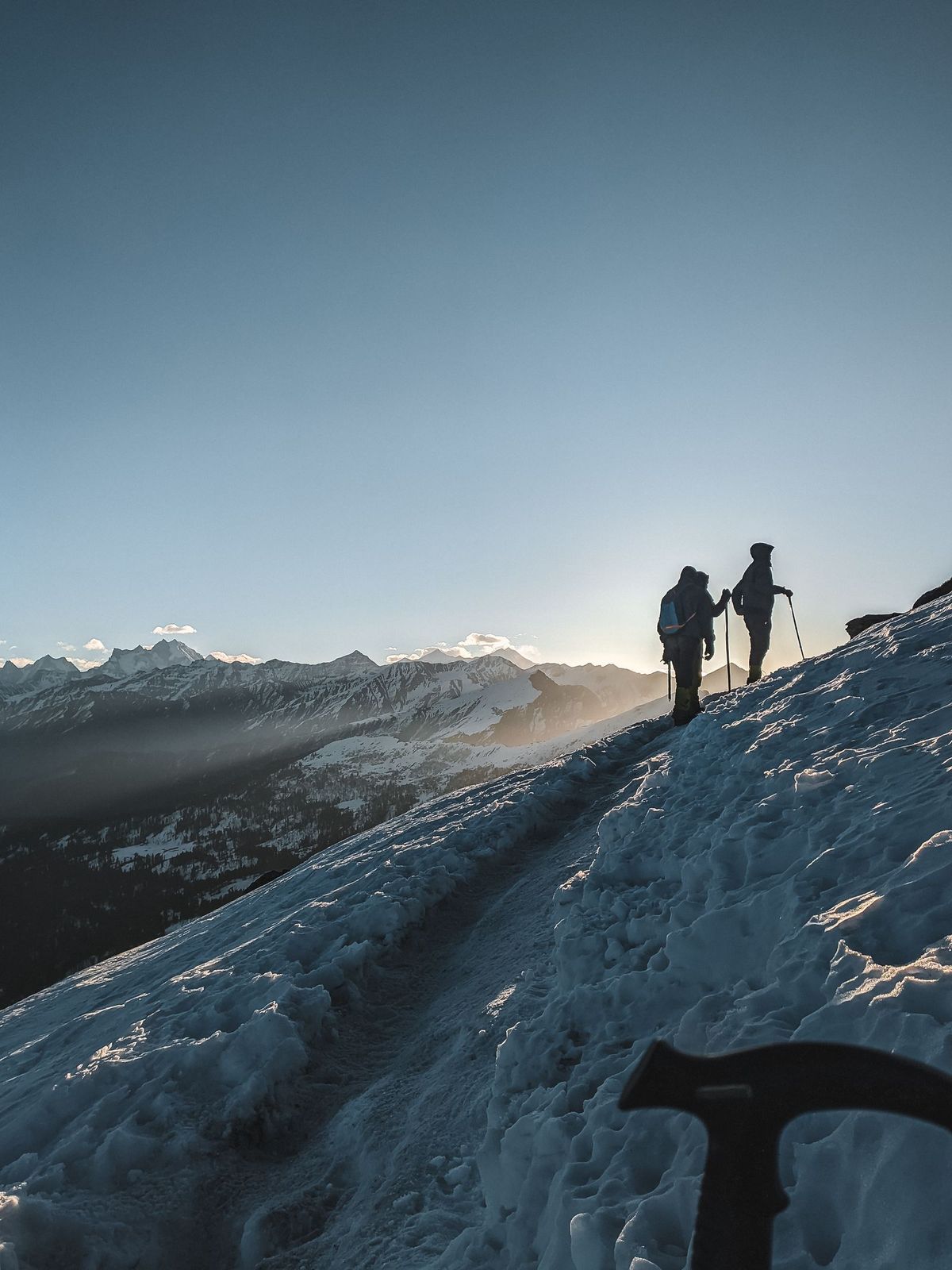
- Silhouettes of hikers trekking a snowy trail in the Singtur Range at sunrise — Pexels — Jeswin Thomas — Pexels License